
Glastonbury ZIP Codes and Postal Labels
The official USPS location results located two Glastonbury-labeled post offices. They are useful anchors for the ZIP code directory, but the live address lookup remains the authority for a particular street. Postal labels such as South Glastonbury do not create separate incorporated towns.
| ZIP | USPS city and post office | Official address | What the label supports | Caution |
|---|---|---|---|---|
| 06033 | GLASTONBURY, Glastonbury Post Office | 145 New London Turnpike, Glastonbury, CT 06033 | Central Glastonbury postal label | Assign a street address with USPS by-address mode |
| 06073 | SOUTH GLASTONBURY, South Glastonbury Post Office | 885 Main Street, South Glastonbury, CT 06073-9998 | South Glastonbury postal-city label | Locality name does not define town limits |
No additional ZIP assigned to a Glastonbury or South Glastonbury post-office label was located in the reviewed official results. Because USPS results are dynamic, rerun the city and state mode before publication and preserve the returned list.
Use 06033 and 06073 as postal starting points, not as a count of addresses or households. A post-office location confirms the office’s label and address, while a street-level return depends on the exact delivery point. Apartment, suite, rural-route, and ZIP+4 details can change the returned format without changing the town’s legal geography.
The most reliable postal directory entry therefore has two layers: the live USPS result for the address and a separate note for the town, Census place, or historic locality. Keeping those layers apart prevents a postal label from becoming an unsupported resident claim.
Use USPS by Address in Glastonbury
The USPS lookup form has a by-address mode for the decisive question: which ZIP does USPS return for this street address? Street Address and City are required. State is a required selection. Company, Apt/Suite/Other, and ZIP are optional fields that can narrow the search.
| Company | Optional text for a business or organization line. |
|---|---|
| Street Address | Required address line used for the postal match. |
| Apt/Suite/Other | Optional secondary location detail. |
| City and State | Required postal locality and state selection. |
| ZIP | Optional five-digit narrowing value. |
| Find | Runs the live USPS result. |
The USPS result is a postal-format answer. The service warns that it does not confirm that a person or company is at the address, so a ZIP code directory should never be written as a residence claim.
The official form is available at the source URL.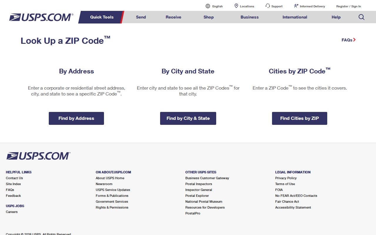
After the USPS result, match the address to the town GIS or parcel layer if the research question needs local geography.
Let Glastonbury City and State Search Return ZIPs
The USPS city-and-state mode is useful for checking the live ZIP code set associated with a postal city. It does not ask for a street and therefore cannot decide which ZIP belongs to a particular parcel. Run the mode with the exact city label, then record each ZIP, recommended city name, and date.
For Glastonbury, compare the returned postal label with the legal town name and with South Glastonbury wording. A city/state result can show that multiple ZIP codes are associated with a postal name, but it cannot describe the internal delivery boundary. The town’s GIS and map library answer local civic questions instead.
The USPS city/state route is the correct live check when a postal directory needs a current list.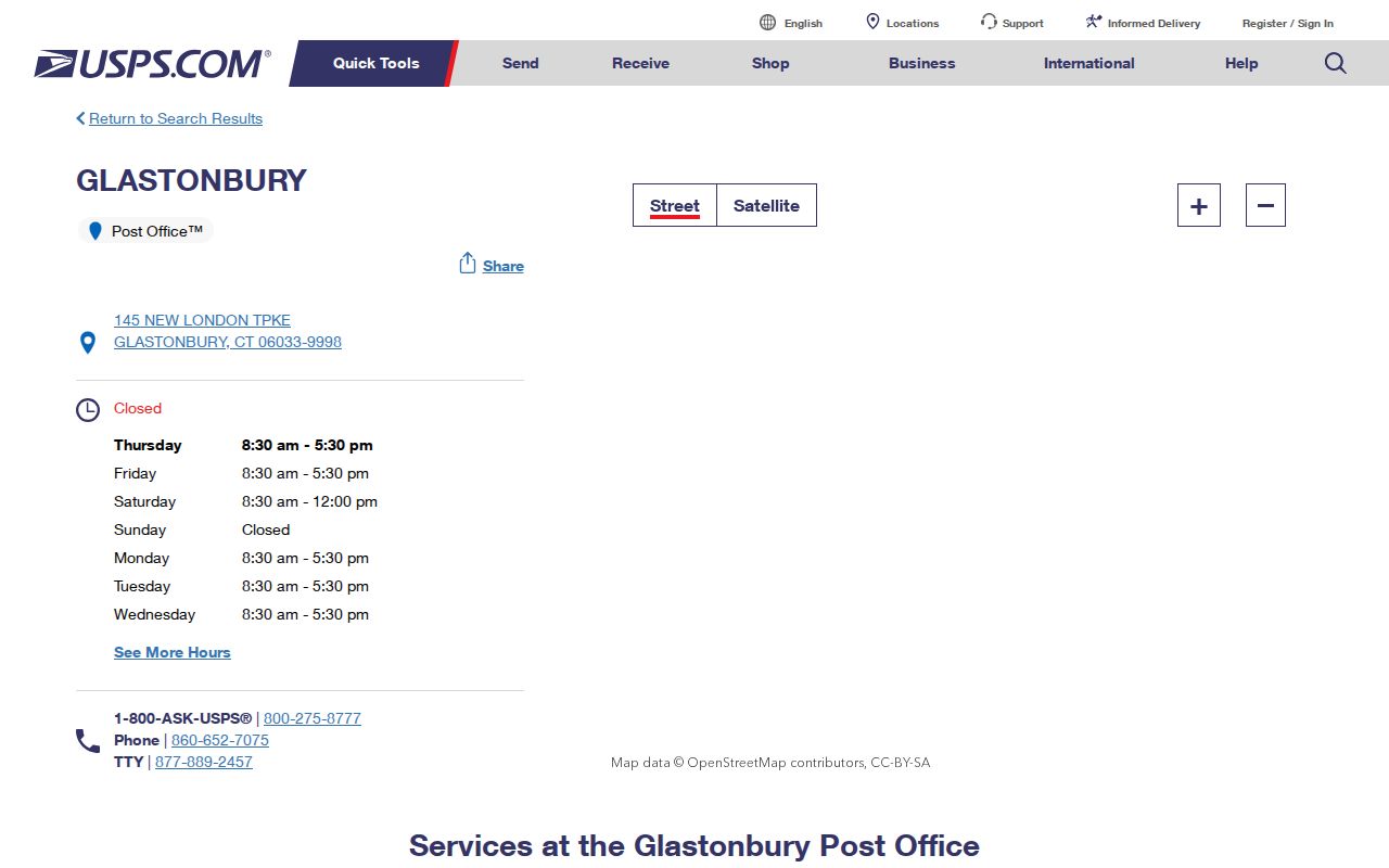
The Glastonbury Post Office result provides a dated location and label, not a townwide delivery map.
Glastonbury Cities by ZIP
The cities-by-ZIP mode works in the opposite direction. Enter a ZIP to see the recommended city names USPS associates with it. This can help explain why a South Glastonbury address uses a locality label that differs from a town or Census place.
The South Glastonbury Post Office result displays 885 Main Street and the 06073-9998 postal form. Keep the five-digit ZIP, the extended address format if returned, the recommended city, and the query date in the source note.
Do not use a recommended city name as evidence that a separate municipality exists. Connecticut’s town-centered records, postal routes, Census places, and county geography use different systems.
The South Glastonbury location screen is linked to the USPS source.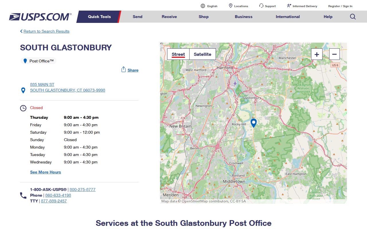
The image supports the post-office label and location only; the live tool decides an address assignment.
Find Glastonbury Records After a ZIP Search
A ZIP code is a useful first filter when the person or street is known only broadly. Treat it as a handoff value. Begin with USPS, then use the town GIS to find the parcel or address label, the Assessor for current administrative fields, and the Town Clerk index for recorded parties or instruments. The Glastonbury street directory by address method owns that parcel-to-record chain.
- Run USPS by address or city and state, depending on what is known.
- Save the ZIP, recommended city, exact query mode, and date.
- Use the town GIS viewer or map library to locate the street and parcel.
- Compare the Assessor’s property location and mailing fields with the parcel key.
- Use the Town Clerk, Registrar, court, or library route that matches the actual research question.
A ZIP result can narrow a search. It cannot identify every person at a postal address, and it does not replace a current agency record.
When a researcher begins with a person rather than an address, the ZIP is only a clue for choosing the next record set. A voter, court, vital, land, library, or license source has its own subject, date, and access rule. Write the ZIP beside the result as geography, then write the record custodian and source date beside any name connection.
For a repeatable handoff, save the exact street spelling, city label entered, state selection, returned five-digit ZIP, any ZIP+4, and the USPS mode. Do not substitute a post-office address for the address that was actually searched.
Glastonbury Map Library Adds Context
The Glastonbury online map library includes street, voter-district, zoning, cemetery, FEMA flood, groundwater, historic-district, open-space, bicycle-route, points-of-interest, sewer, and Plan of Conservation and Development maps. Those layers can explain a civic or geographic question that USPS cannot answer.
The street map was listed as revised April 6, 2026, the sidewalk master plan as revised May 12, 2026, and the voter-district map as revised April 11, 2022 during research. Keep those dates as map metadata. They do not establish that every parcel or service boundary changed on the same day.
A postal directory becomes more useful when the postal result and map layer are displayed as separate facts. A map revision date should stay beside the map name.
Glastonbury Town and Center Are Different Places
Census geography adds another boundary distinction. Census QuickFacts listed a 2025 population estimate of 35,503 and a 2020 base of 35,166 for Glastonbury Town. A 2020 Census county-subdivision table listed 35,159, while Glastonbury Center CDP had a 2020 population of 8,459. These figures belong to different Census products and geography types.
Glastonbury Center is a Census-designated place, not a separate town or ZIP. The directory should label a Census estimate, town total, CDP total, and USPS result separately. None is a residents roster.
The Census QuickFacts source is the place to check the current product and date.
ZIP Boundaries Are Not Glastonbury Limits
A ZIP code is a USPS delivery construct. It may cross municipal lines, use a postal city name that differs from a legal town, or divide a municipality among postal labels. Hartford County is a geographic locator and does not decide ZIP assignment. GIS parcel town fields and Census place fields answer different questions.
- ZIP versus ZIP+4
- A five-digit ZIP identifies the main postal area; the extended form adds delivery detail when USPS returns it.
- PO-box ZIP
- A ZIP associated with a post-office box or postal route, which may not describe a street delivery parcel.
- Unique ZIP
- A special postal assignment used for a defined organization or delivery purpose; verify the live USPS result rather than assume one for Glastonbury.
- Carrier route
- A delivery grouping inside postal operations, not a municipal boundary or public resident list.
When postal and municipal labels differ, preserve both. The difference is often the reason a name or address search appears inconsistent.
East and South Glastonbury Need Dates
East Glastonbury and South Glastonbury appear as locality labels in historical and postal sources. The Library of Congress 1972/73 directory identifies East Glastonbury, Glastonbury, and South Glastonbury pages, while USPS identifies a South Glastonbury post office. Town history also records Eastbury as an older locality term.
These labels help form search variants for a directory, newspaper, map, or deed. They are not proof of a separate incorporated municipality, and they should not be silently replaced with a modern label in a historical citation.
For an old address, use the directory date, printed locality, USPS result if available, and town parcel or deed reference together.
Glastonbury ZIP Research Handoff
Finish a ZIP code directory entry with a source note that another researcher can repeat. The note should state the USPS URL and mode, query date, returned ZIP, recommended city label, post-office location if used, and whether the result came from a specific address or a city/state list.
Add the town or Census geography separately, then list any conflict with GIS, a directory, a historic map, or a land record. If the live USPS tool returns a broader set than the two official location pages reviewed here, update the table rather than treating the old result as complete.
Interpretation rule. USPS confirms postal formatting. It does not confirm a person, household, business, ownership relationship, or current residence at the address.
A dated ZIP result can now be handed to the street, parcel, resident, or historical workflow without blurring postal geography with people records.