
How to Search the Glastonbury Residents Directory
Glastonbury has no single official, continuously updated list of every person in town. A careful search starts with the record that matches the question. The Assessor and GIS can identify a parcel and an assessment relationship. The Town Clerk can show a recorded land party or vital-record route. The Secretary of the State connects to voter information, business filings, and privacy rules. Courts and probate supply case indexes, while libraries and archives hold dated evidence.
Each result has a narrower meaning than the word resident suggests. A grantor is a party who transfers an interest, a voter is a person in the registration system, and a directory entry is a published snapshot. A name match becomes more useful when the date, street, parcel, record number, or locality also matches.
- Write down the name, address, town label, or year already known.
- Start with the official source closest to that clue, such as GIS for an address or a court index for a docket.
- Keep the source date, custodian, exact spelling, and record identifier with every result.
- Use a second record family to test the match, not a second copy of the same index.
- Ask the custodian for a copy, certification, or correction when an index lead matters.
Where Glastonbury Keeps Resident Records
The local record map is town-centered. Hartford County is a geographic label, not a county recording office, because Connecticut has no county government that replaces the town clerks. The Glastonbury Town Clerk, Assessor, Engineering and GIS staff, Registrar of Voters, Probate Court, library, and state agencies each hold a different slice of the record trail.
Use the office whose record matches the claim. The Town Clerk’s index is about instruments and town records. The Assessor’s records are tax-administration records. GIS is a mapped parcel service. The Registrar handles registration and election administration. None should be treated as a complete residents directory.
Glastonbury Town Clerk
Lower level, Town Hall
2155 Main Street
Glastonbury, CT 06033
860-652-7616
Glastonbury Assessor
Lower level, Town Hall
2155 Main Street
Glastonbury, CT 06033
860-652-7600
Glastonbury Registrar of Voters
Lower level, Town Hall
2155 Main Street
Glastonbury, CT 06033
860-652-7627 / 860-652-7628
Glastonbury Resident Records and Hartford County Geography
The Connecticut State Library explains that the eight county names and boundaries are mainly geographic today. Hartford is the county seat, but a researcher looking for a Glastonbury deed should not send a request to a Hartford County recorder. Municipal land records remain with the Glastonbury Town Clerk. Probate matters go to the Glastonbury-Hebron district, and civil cases use the state Judicial Branch.
County language still helps with old books, census tables, court locations, and regional newspapers. It also explains why an older source may say Hartford County even when the relevant event belongs to Glastonbury. For a non-exempt municipal record, identify the custodian, record series, date range, and preferred format under Connecticut’s Freedom of Information Act.
Routing note. A county label narrows geography. It does not prove that a person lived in Glastonbury or identify the office holding a local record.
Glastonbury Resident Leads in Land Records Since 1693
The Glastonbury SearchNG land index reaches from May 4, 1693 to the present. Its free index is available in real time, while document images and printing use a subscription or a self-service workstation at Town Hall. A result is an index lead. The instrument, legal description, linked documents, and certification route supply the stronger evidence.
SearchNG says less is better and warns about spelling variations. The controls below are the useful starting set. A party role can be direct or indirect, and the result may show an asterisk or R/C notation that needs careful reading.
| Search field | Input | How it helps |
|---|---|---|
| Party Name | Last name, first name, no comma | Find a person or company tied to an instrument |
| Document Type | Optional selector or code | Narrow deeds, mortgages, releases, or other instruments |
| Date Range | From and to, MM/DD/YYYY | Limit a search or use the 7, 30, or 90-day shortcuts |
| Instrument No. | Text or numeric identifier | Open a known recording lead |
| Book/Page | Book type plus numbers | Match a citation from a deed or map |
| Lot/Block | Parcel reference | Connect an older map reference to a land record |
- Index
- A catalog entry that points to a record; it is not the complete instrument.
- Parcel
- A mapped administrative piece of land identified by local parcel fields.
- Criss-cross directory
- An address-oriented directory format; no official Glastonbury-specific reverse run was located.
Glastonbury Directory Leads from Parcel and Map Layers
The Glastonbury GIS mapping page links physical-location maps, field cards, land records, utilities, and address lists. The public ArcGIS parcel layer adds geometry and parcel attributes. Useful fields include ParcelID, PropertyID, StreetName, AddressNum, AddressLabel, Map, Block/PID, Lot, acreage, CommonName, UpdateDate, SourceID, SourceType, and SourceDate.
A map layer helps match an address to a parcel, then a parcel reference can guide an Assessor or Town Clerk search. The service has a 2,000-record maximum and supports spatial queries, offsets, and geometry. A mapped line is not a survey, and a common-name field is not proof of current residence.
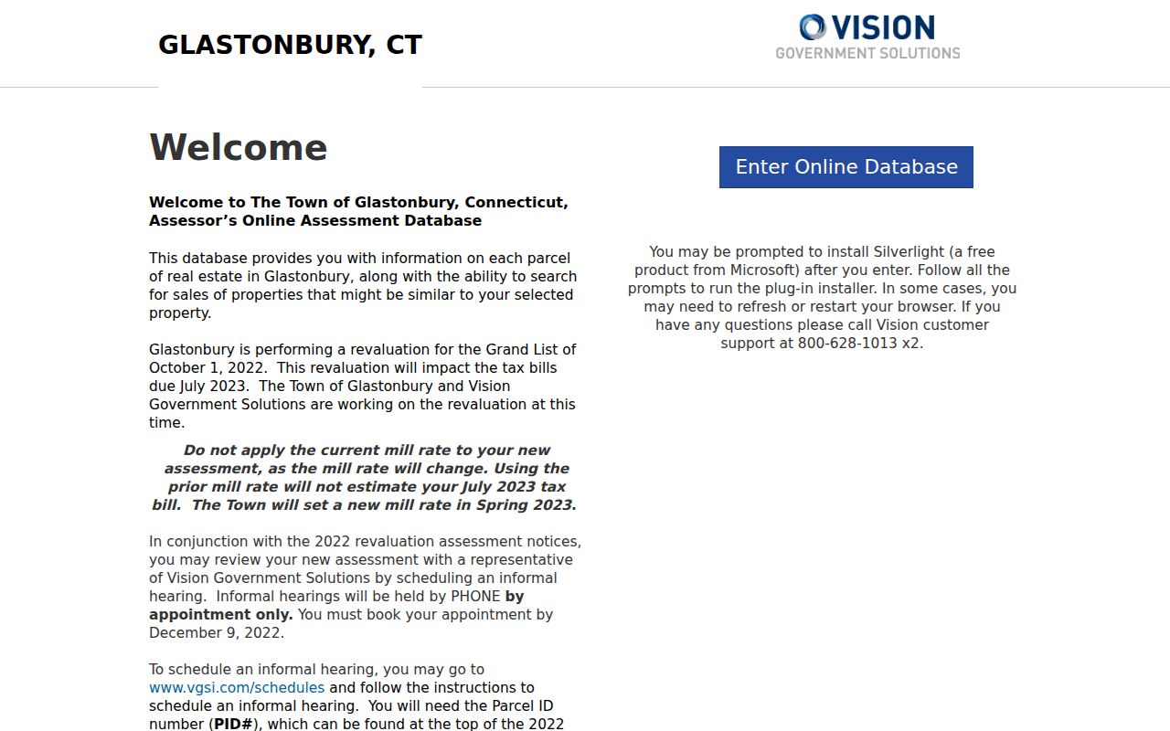
The Vision entry and the ArcGIS layer serve different purposes. Keep the parcel identifier, source date, and assessment or Grand List year beside any owner or value field.
Current Glastonbury Resident Sources
Current-looking sources are still record-specific. No verified townwide people directory was located. The following routes can place a person, entity, or event in a Glastonbury record without turning that record into a profile.
| Source | Record subject | Keeper | Access meaning |
|---|---|---|---|
| Assessment and GIS | Parcel, owner field, mailing address, value | Town Assessor and Engineering | Current administrative context |
| Voter lookup | Registration status under public fields | Secretary of the State and Registrar | Privacy-controlled civic record |
| Land index | Grantor, grantee, and instrument parties | Town Clerk | Free index, paid image route |
| Civil and probate indexes | Case parties and estate leads | Judicial Branch and PD-06 | Public case index, not the file |
| License and business search | Credential or filing connection | DCP and Secretary of the State | Public status or filing fields |
Official records are usually better for a dated, narrow question because the custodian and record type are visible. Commercial people-finder tools may merge names from multiple sources, charge for access, or hide how current a field is. Both categories still require lawful use and source checking.
| Official record route | Named custodian, stated coverage, source date, and a defined record meaning. |
|---|---|
| Commercial search category | Convenience-oriented results whose source mix, update cycle, and correction path may be unclear. |
| Best practice | Use the official record as the lead, then ask the custodian for the document or correction route. |
Glastonbury Resident Voter Records Have Privacy Gates
The Connecticut voter lookup is the official starting point for registration status, and the Glastonbury Registrar links to it. The Registrar’s office is in the lower level of Town Hall and lists Tuesday through Thursday service from 10 a.m. to 2 p.m. The state system is not a full identity profile. The Secretary of the State says the public birth field is limited to the year, not the month and day.
A full registry request is a separate written process through the Elections Administration and Enforcement Division. Research records a $300 full-registry charge and a request route using scope, contact, payment, and certification details. Recheck the current form before sending a request. A person with a qualifying safety risk may use the state voter privacy program, and the Address Confidentiality Program can provide a substitute mailing address.
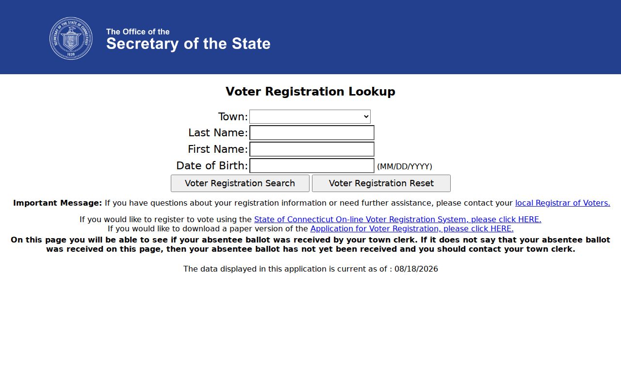
That access gap is itself a limit to record interpretation. Do not reconstruct a protected address from a parcel, directory, or neighboring result.
Glastonbury Vital Records for Residents by Event
Birth, death, marriage, and civil-union records use different access rules. Start with the event date and place, then use the Glastonbury Town Clerk or the Connecticut Department of Public Health. Town requests can be made in person or by mail. State routes include forms and the approved VitalChek channel. The state office covers statewide records from July 1, 1897 forward, while towns may hold older local records.
| Event | Glastonbury route | Access point | Key limit |
|---|---|---|---|
| Birth | Town or DPH form | Town full copy $20; wallet copy $15; state copy $30 | Under 100 years is restricted to eligible requesters with ID and proof |
| Death | Town or state death form | Town copy generally $20 | Town page states records before July 1, 1997 are open; Social Security fields are protected |
| Marriage | Town or state certified-copy form | Certified copy $20 | Adult access applies, but spouses’ Social Security numbers are restricted |
| Civil union | Marriage and civil-union route | Event-specific form | Connecticut ceremony period was October 1, 2005 through September 30, 2010 |
The forms ask for the event, requester identity and contact details, relationship or eligibility, identification, copy type, payment, mailing information, and signature. A certificate request is not a broad name-only lookup. For aggregate data, DPH’s research route asks for purpose, years, data elements, format, delivery, and payment contact.
Glastonbury Resident Court and Probate Indexes
The Connecticut Judicial Branch civil inquiry offers party, docket, property-address, court-event, and legal-notice modes. A party search requires a last name and can add a first name, location, category, case type, sort order, and a Starts With, Contains, Equal, or Sounds Like match. The portal says its display is not the official court record.
The Glastonbury-Hebron Probate Court is PD-06. Its probate case lookup accepts case type, district, status, last name, and first name. The result can show a case number, name, middle initial, type, and district. Documents still come from the court. For federal matters, District of Connecticut records use PACER, with the district’s CM/ECF conversion point in October 2003.
A captured probate screen is linked to the live statewide lookup.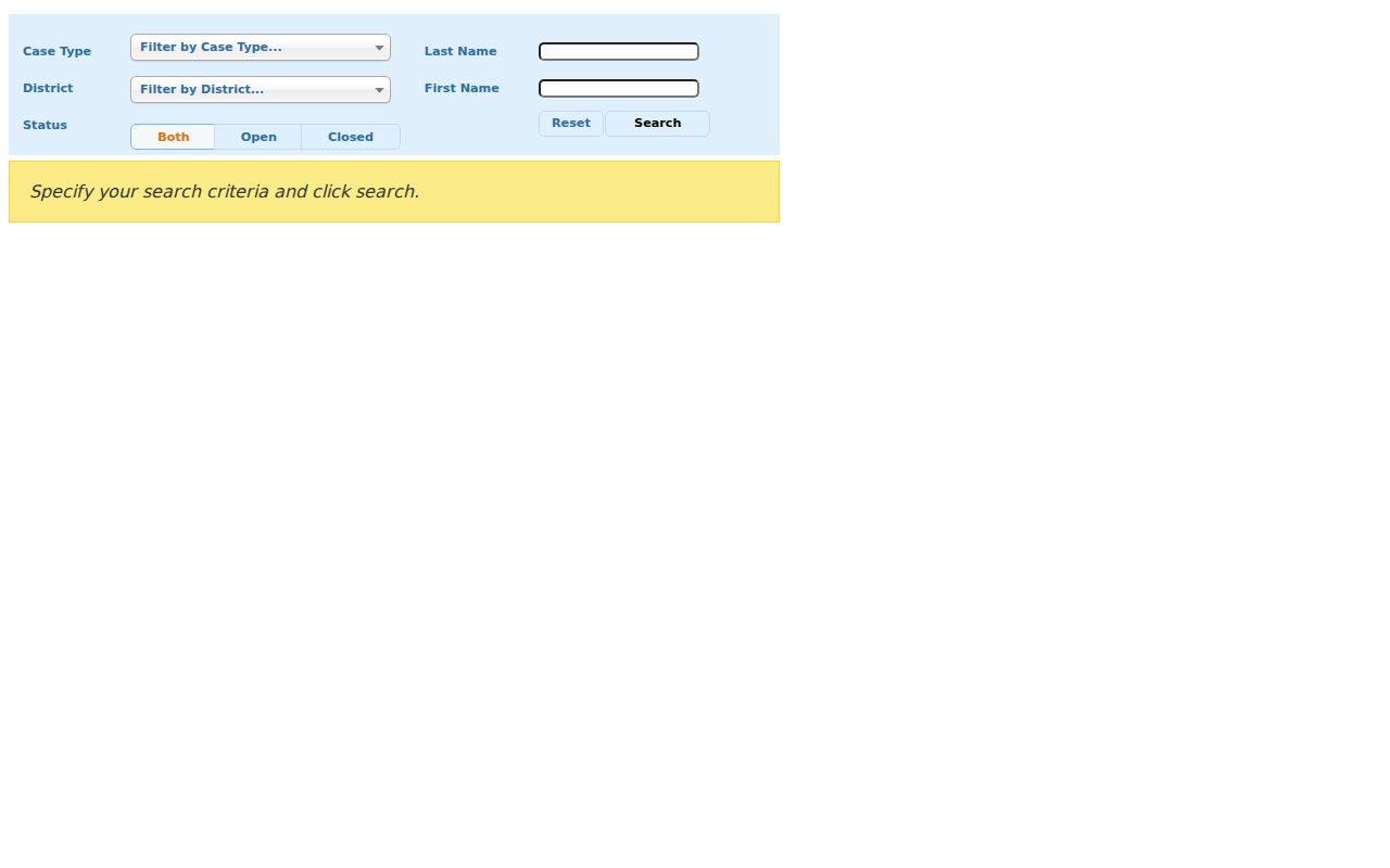
Retain the case type, court location, docket or case number, dates, last action, disposition if shown, and the portal’s limitation. A case lead is not a complete identity record.
Historical Glastonbury Resident Directories
Printed directories are dated evidence. The Library of Congress Hartford volumes include a 1926 to 1928 locality index and a 1972 to 1973 volume with Glastonbury, East Glastonbury, and South Glastonbury sections. Later pages can show a printed name, telephone number, street address, business label, and locality suffix, but not age, spouse, ownership, occupancy, or currentness.
The Gale finding aid locates Hartford suburban runs in 1905/06 to 1913, 1913/14 to 1918/19, and 1927 to 1929, with missing years noted. Later Hartford reels from 1951/52 onward include Glastonbury. The full collection-by-collection reading method belongs on the Glastonbury city directory collections page.
Glastonbury Directory Leads from Library and Newspapers
Welles-Turner Memorial Library combines local history, reference help, databases, and periodicals. Its Glastonbury Community History Archive describes searchable or browsable local material, and the digital newspaper archive covers the Glastonbury Citizen from 1921 to 2001, the Bulletin beginning in 1948, and the Wooden Nutmeg periodical. The interface offers a Search For field, people, places, events, date or other controls, an AND option, and browse tools.
Newspapers can connect a name to a dated obituary, public notice, club event, business advertisement, or civic appointment. OCR is a lead, not the final reading, so inspect the scanned page and retain its title, date, and page. When a shelf or clipping file is needed, the Connecticut State Library and the Glastonbury Historical Society are stronger fallback routes than an unsupported generic index.
Glastonbury Business and License Records
A person’s name may appear as a business filing, local trade name, or professional credential without proving residence. The Secretary of the State search accepts an exact business name or Business ID and can show annual-report information and filing addresses. The live search form was only partially exposed during research, so use the official page and verify current fields.
Connecticut eLicense covers more than 800 license types. Its search fields include license type, type prefix, license number, status, business or DBA name, first and last name, and address city, state, ZIP, and country.
The eLicense entry screen is available for inspection at the source URL.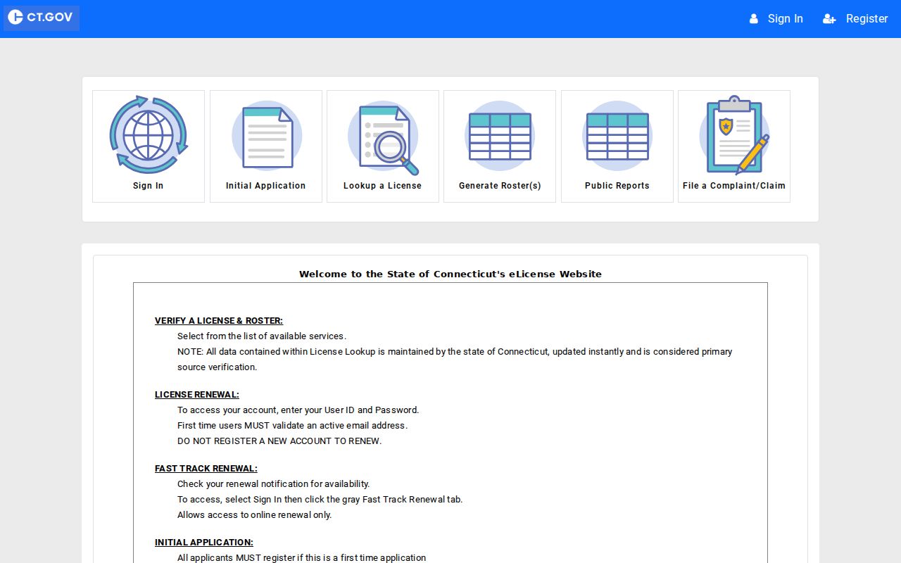
Keep the credential type, number, effective and expiration dates, status, scope, and issuing agency. A filing or license result proves a record connection, not the quality or present activity of a person or business.
Glastonbury State Custody Searches
The Connecticut DOC inmate search is a state-custody tool updated from a nightly feed. Its described fields include DOC number, name, date of birth, latest admission, current location, status, bond, offense, sentence, release, parole, and detainer information. Data may be delayed, changed, or withheld under statutory and public-safety limits.
The state sex-offender registry offers last-name, town, ZIP, and entire-list routes, with its own warning that inclusion is not a determination of risk or danger. Glastonbury Police records are a separate path at 2108 Main Street, records 860-652-4227, and non-emergency 860-633-8301. Use the report date, incident location, or report number rather than treating an arrest log as a complete local history.
The DOC source page is the authority for current search access and its nightly-data caution.
Use these systems only for the purpose the agency states. Do not publish a protected address or turn a changing custody result into a claim about who lives in Glastonbury.
Lawful use. Resident research is for personal, genealogical, property, and civic purposes. Do not use a record to stalk, harass, intimidate, or harm anyone.
Glastonbury’s Preserved Property Maps
Recent records work adds useful context to older searches. Glastonbury’s FY2024 annual report says grants helped conserve 257 of the oldest permanent-record property maps for public use. Those maps can explain older parcel references and boundaries when a current street label no longer matches the language in a deed.
The FY2025 report records 5,291 land-record documents and 20,484 pages, along with 128 certifications. Those are fiscal-year service counts, not a live counter. The town’s GIS and CAD route can supply cadastral data as ESRI shapefiles or AutoCAD 2014 DWG, while planimetric data derive from 2014 aerial imagery and contours use two-foot intervals.
For a formal map-data question, preserve the map date, layer name, and source field. A current map and a historic deed answer different parts of an address story.